
Laguna Niguel Open Space Inventory
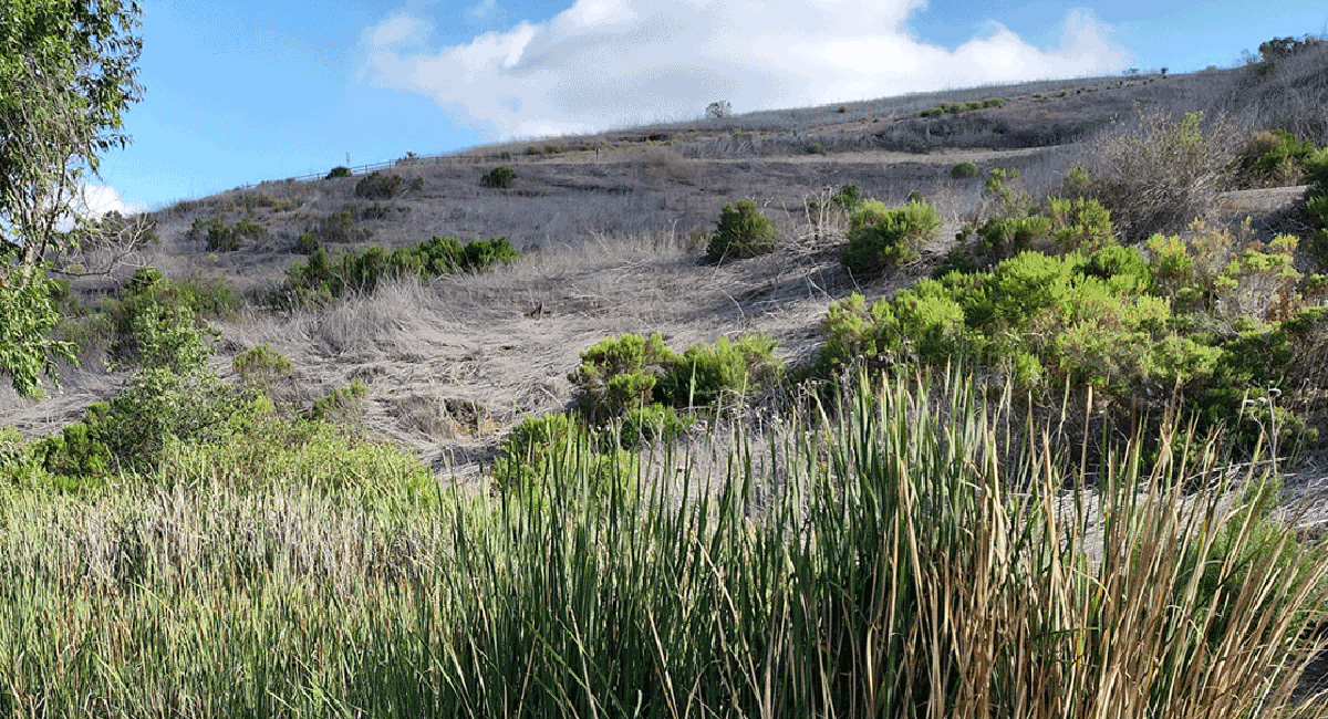
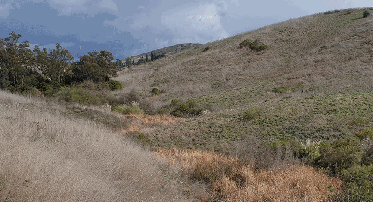
In Southern California, open spaces provide almost year-round options for residents and visitors to enjoy a variety of recreational activities. Open spaces can do so much more than occupy our free time—they provide valuable protection against extreme weather events and protect native ecosystems. Which is why it was imperative for the City of Laguna Niguel in Orange County, CA, to figure out how to manage its approximately 4,300 acres of designated open space.
To do this, MIG’s interdisciplinary team of GIS specialists, open space planners, and natural resource experts partnered with the City to develop a GIS-based Open Space Inventory.
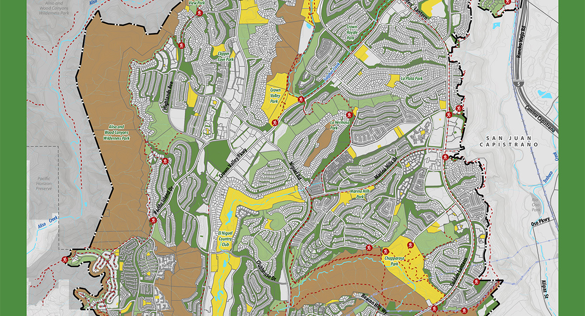
Creating an Open Space Inventory helps with internal planning, wildfire prevention, and long-term management, while also raising community awareness about the City’s natural spaces. It lists and organizes many types of open spaces, like the City’s neighborhood parks, scenic trails, greenbelts, wilderness areas, botanical preserves, and both private and HOA-managed parks.
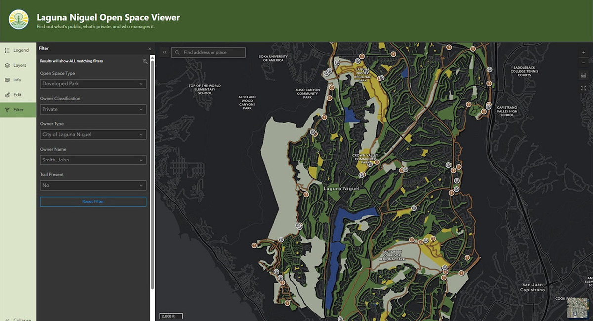
A key component of the project is a central geodatabase that links open space records with the latest contact and ownership details for City staff. MIG is also building an easy-to-use online Open Space Viewer Dashboard, which lets users filter by park type, amenities, wetlands, accessible trails, and entry points.
These tools allow both staff and the public to explore open space resources while supporting data-driven decision-making and interdepartmental coordination. Additionally, the comprehensive, visually engaging system elevates the value of open space in Laguna Niguel to support its ongoing stewardship.