MidPen Botanical Surveys
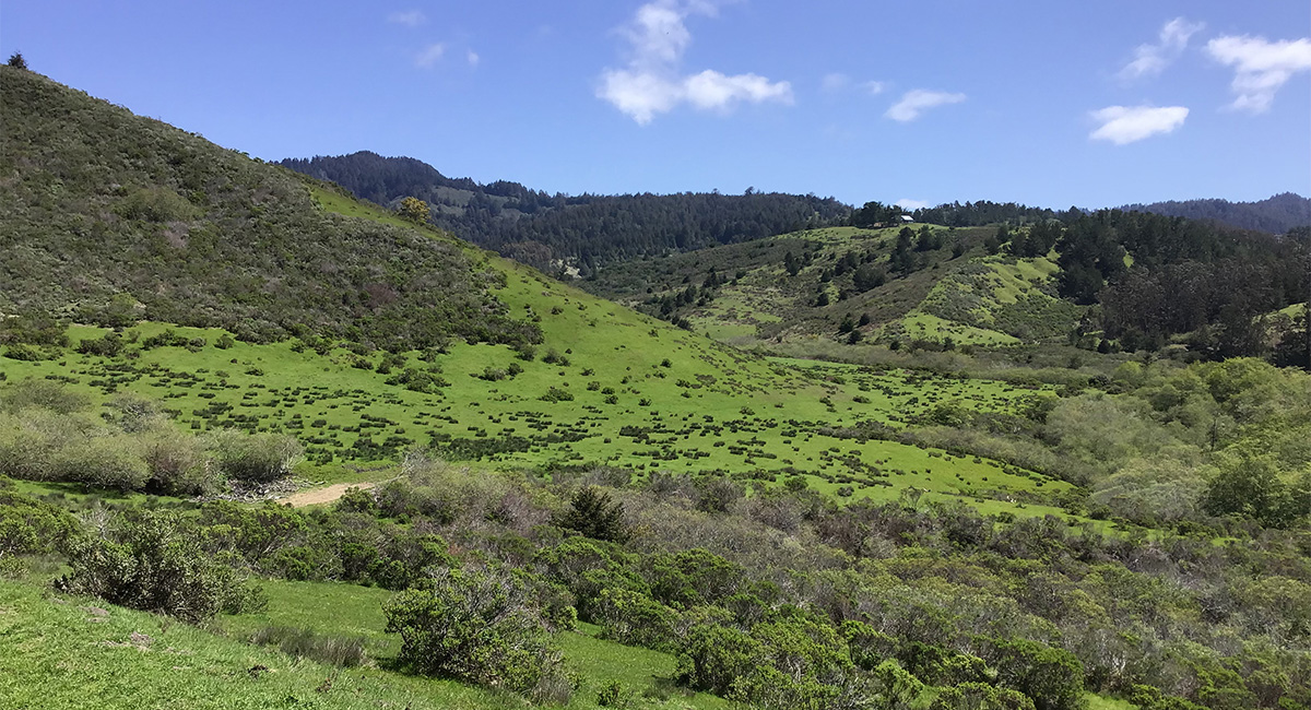
Under shady oaks, in meadows, and along the wooded slopes, creek banks, forest edges, and coastal bluffs of the Santa Cruz Mountains—yield just the right conditions for delicate wildflowers, tufted grasses, and sheltering thickets. Invasive plants also thrive in these areas, upsetting the fragile balance of life-giving food and shelter for native animals and insects, and altering the fire regime.
In support of Midpeninsula Regional Open Space District’s long-range planning, MIG biologists set out to document or map special-status plants, native grasslands, sensitive vegetation communities, and invasive plant species throughout the Santa Cruz Mountains and coastal areas in San Mateo County, including Bear Creek Redwoods, La Honda Creek, Long Ridge, Miramontes Ridge, Monte Bello, Purisima Creek Redwoods, Saratoga Gap, and Sierra Azul open space preserves. Special fieldwork gear—including a tablet with a submeter GPS receiver and geo-spatial mobile-device application—allowed for efficiency and accuracy in data gathering and mapping, conducted in accordance with recommended California Department of Fish and Wildlife protocols.
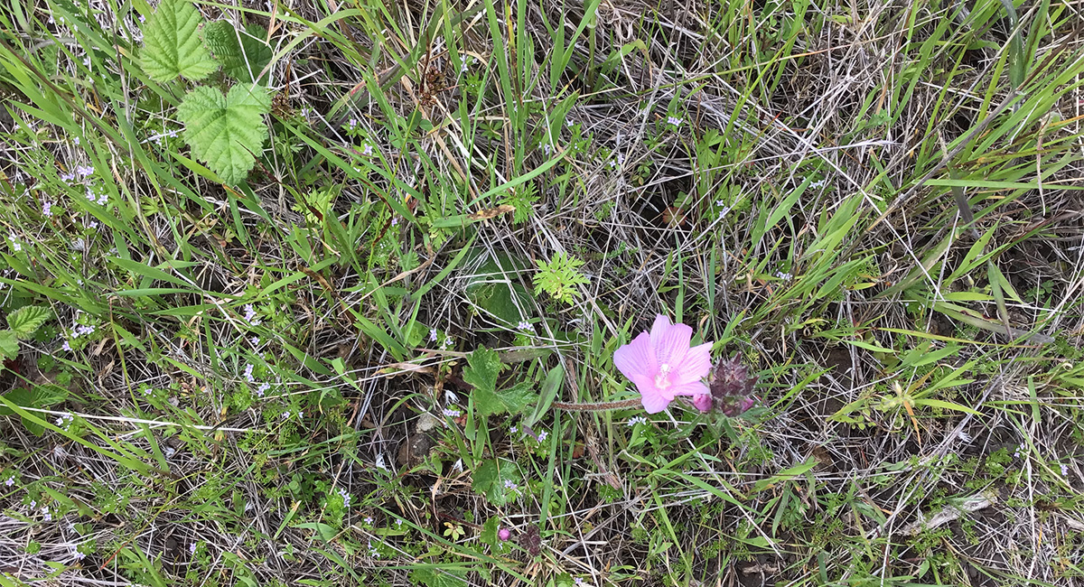
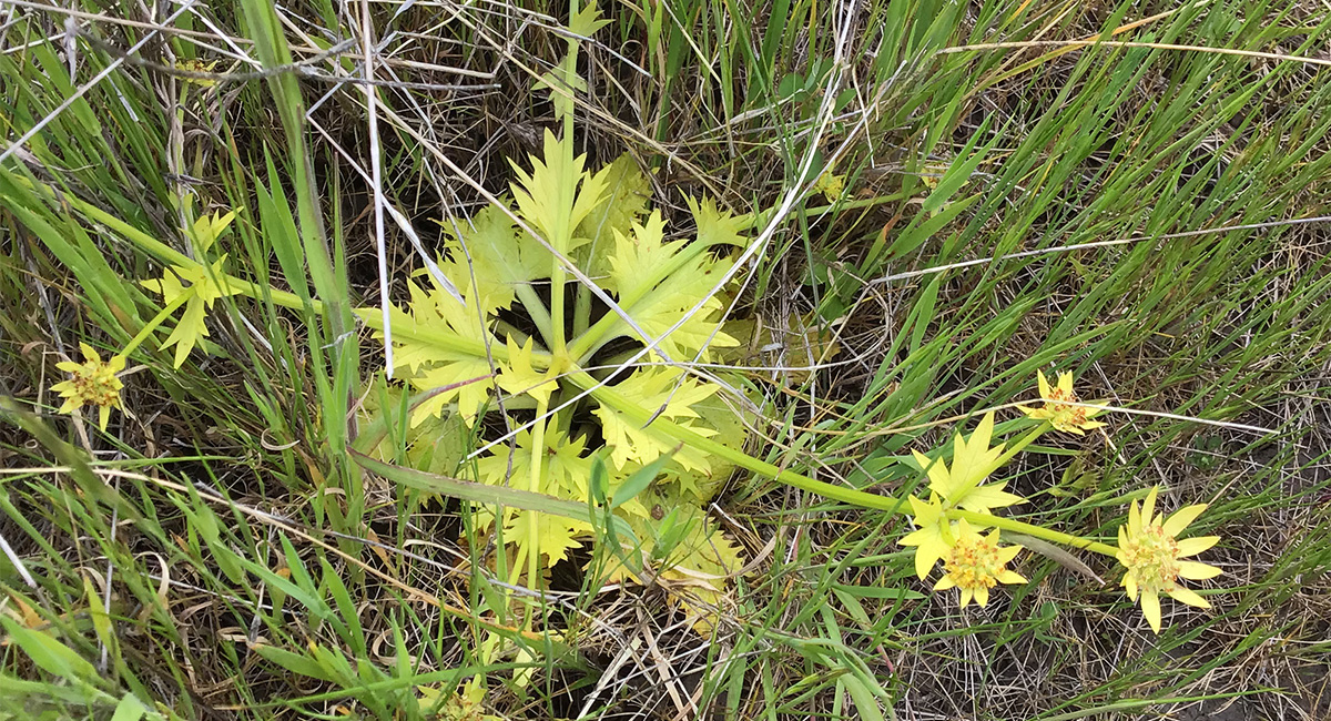
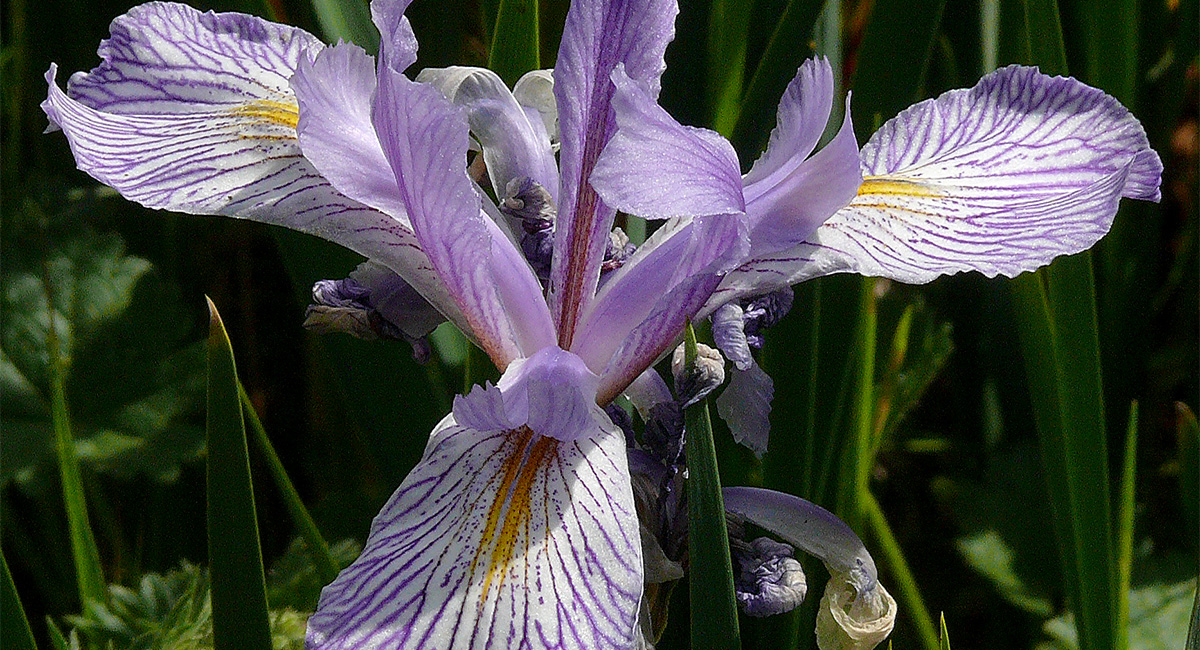
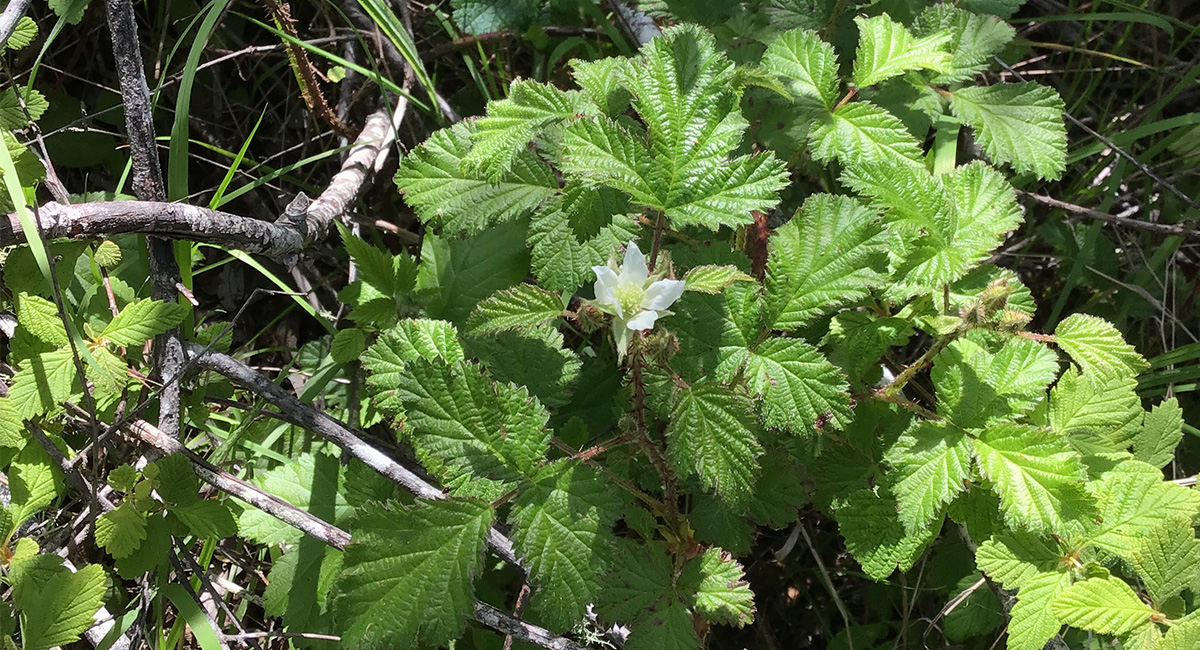
Some of the treasures discovered: special-status plants, including coast iris (Iris longipetala), Choris’ popcorn flower (Plagiobothrys chorisianus var. chorisianus), and Hickman’s popcorn flower (Plagiobothrys chorisianus var. hickmanii); and sensitive vegetation communities, including Arroyo Willow Thickets (Salix lasiolepis Alliance), Needle Grass – Melic Grass Grassland (Nassella spp. – Melica spp. Alliance), and Red Osier Thickets (Cornus sericea Alliance).
Knowing where these plants, as well as other plant communities and invasives, are located will inform critical decision-making around the Midpeninsula Regional Open Space District’s Integrated Pest Management Program, Wildland Fire Resiliency Program, riparian habitat restoration, and proposed trail alignments.