Pearl Harbor Chief Petty Officers’ Neighborhood HALS
Imagine a sunny December day on O’ahu, hanging your clothes to dry in the island breeze, when suddenly the ground rattles, and a faraway explosion jostles the clothes basket at your feet. While explosions might not be so unusual on an active military base, that day and that explosion will be remembered for generations. It was December 7, 1941.
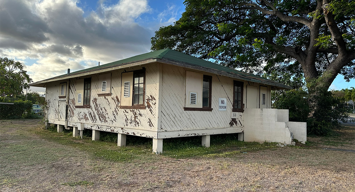
The neighborhood, where chief petty officers lived near Pearl Harbor, was called Ford Island. The National Park Service wanted to preserve the neighborhood, which amazingly suffered no serious damage in the attack, as an important historical and cultural artifact of the US Navy’s development in the Pacific.
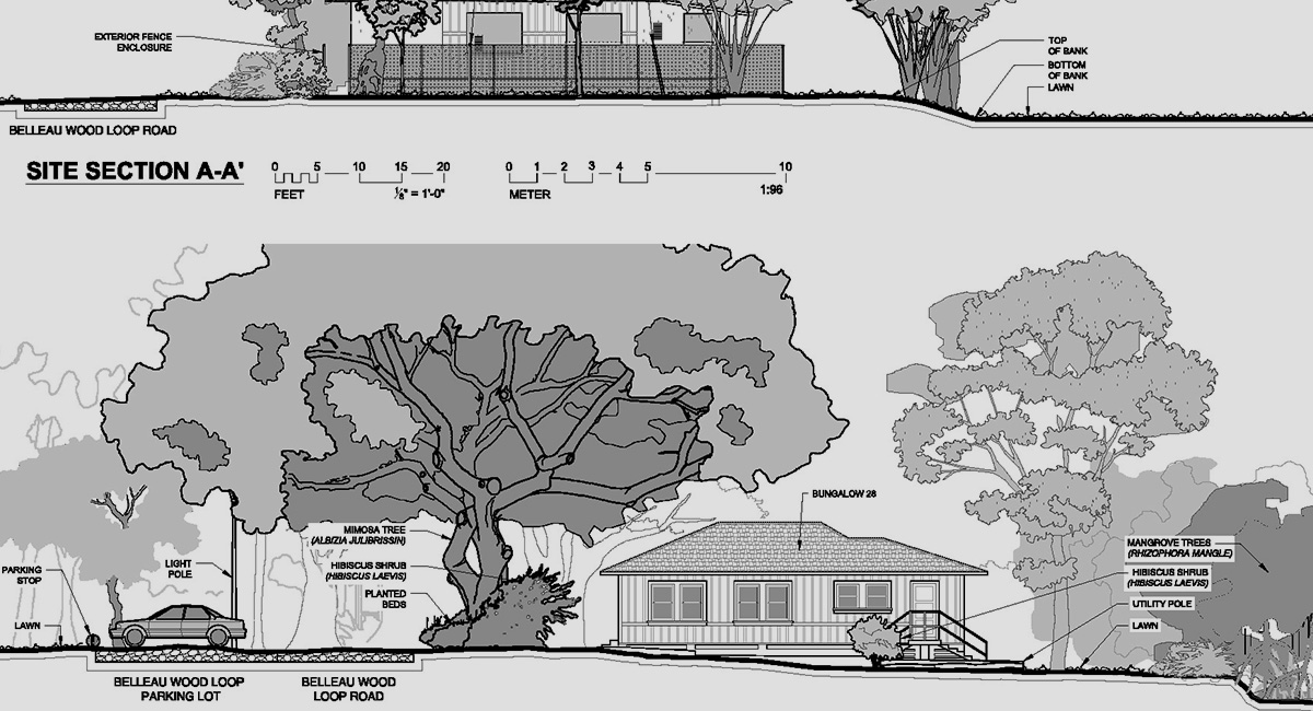
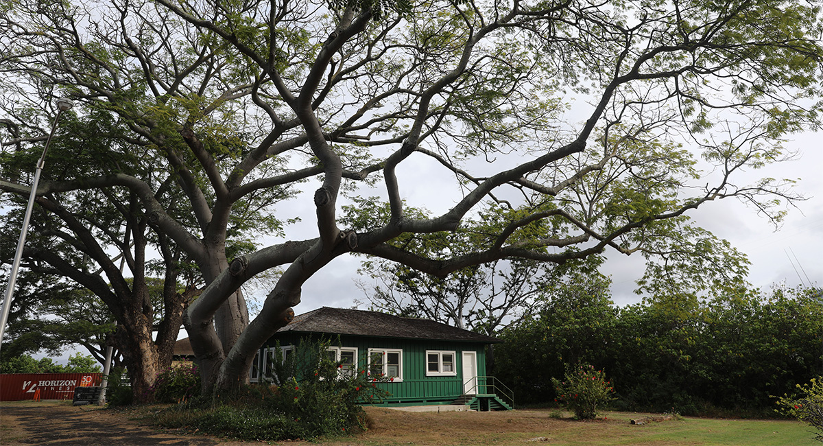
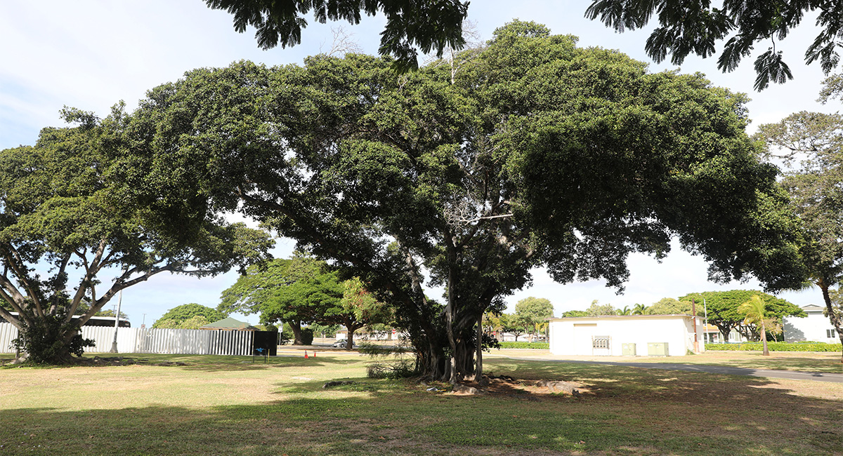
Our interdisciplinary team spent a week on-site in O’ahu collecting spatial and topographic data, exploring the local archives and museums, and measuring dozens of mature trees, including three banyan trees with canopies spreading more than 100 feet!
MIG provided comprehensive historic site documentation of the neighborhood and, following the standards set forth by the Historic American Landscapes Survey (HALS) program, included measured drawings and a historical report. The documentation covers the full breadth of the neighborhood’s historic features: historic paving materials, six bungalows occupied by CPOs and their families, even the clothesline poles that remain.
MIG also contracted large-format photographs by local photographer David Franzen to depict views and details that visually show the character of the landscape in ways that written reports and measured drawings might not. The photographs will be submitted to the Library of Congress as part of a permanent archive that tells the stories of America’s historic landscapes.
The full exhibit captures the character and shape of the site, creating a record of US development on Hawai’i and the way military families lived from the early 1900s through the early Cold War era.