
Poway Road Corridor Specific Plan
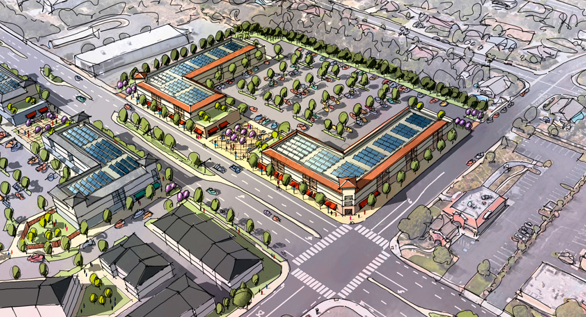
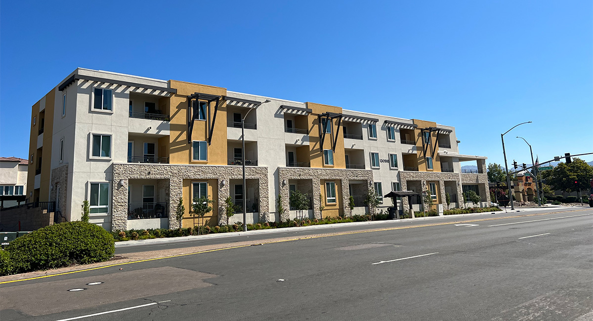
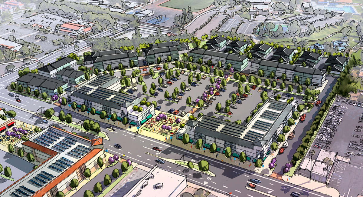
Once known as a main roadway used to exit the City of Poway—filled with underperforming, single-story shopping centers with large parking lots facing the street—the 3.5-mile stretch between Oak Knoll Road and Garen Road is now a bustling corridor featuring several mixed-use developments.
MIG worked closely with the community, a 12-person Ad Hoc committee, City staff, and the City Council to craft the Poway Road Specific Plan to transform the corridor into walkable pedestrian neighborhoods over the next 25 years.
The project included an extensive assessment of existing conditions within the 235-acre study area, including economics and market conditions, traffic and mobility, land uses, and connectivity within the study area and to adjacent neighborhoods.
Part of the goal was to introduce higher-density housing into the corridor and boost the economic strength of the businesses, reversing the sales leakage to other parts of Poway and northern San Diego County. To do this, the MIG Team identified square footages of existing commercial space, determined which buildings should remain, and a phased plan for eventual replacement of over 50% of the commercial businesses within the 25-year planning horizon.
The final plan included over 1,300 residential units identified in smart walkable neighborhoods and 200,000 square feet of new commercial land uses. The Plan generated immediate developer interest in the corridor and has resulted in several mixed-use projects that opened within a few years of the final plan.