The definition of visualization is fairly straightforward: visually communicate and explore complex ideas and information in simple and easy-to-understand ways. Visualization tools help planners, the community and elected officials interact with a project before it’s built—everyone can see how different design choices have different impacts on a project and on the community.
Visually telling the story of a project can transform the internal design process and change the community planning dynamics from disinterested or outright hostility to participatory and even enthusiasm.
People can visualize new or reimagined housing, transportation systems and streets, retail, parks and plazas, river corridors and all the other elements of a community’s planning efforts. And that can fundamentally improve stakeholder understanding, profoundly enrich the engagement process and help people relate to design concepts in a personal way—which increases trust and excitement in your planning process and your project.
As Danielle Feinberg, Director of Photography and Lighting for Pixar puts it: “We are trying to create a believable world; one the audience can immerse themselves in to experience the story….It’s an interweaving of art and science that elevates the world to a place of wonder, a place with soul, a place we can believe in, a place where things you imagine can become real.”
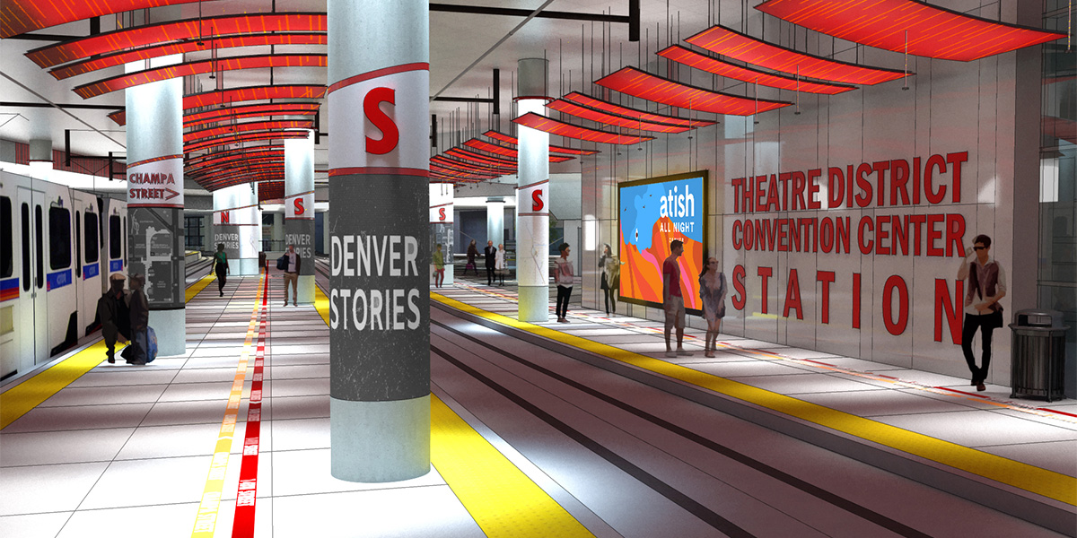
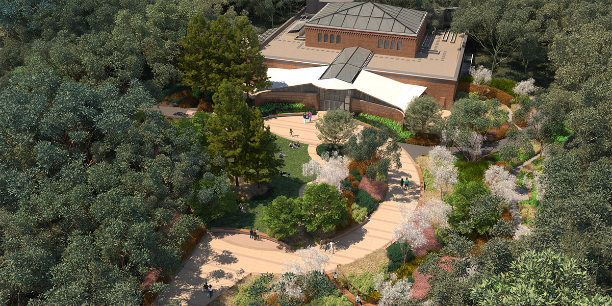
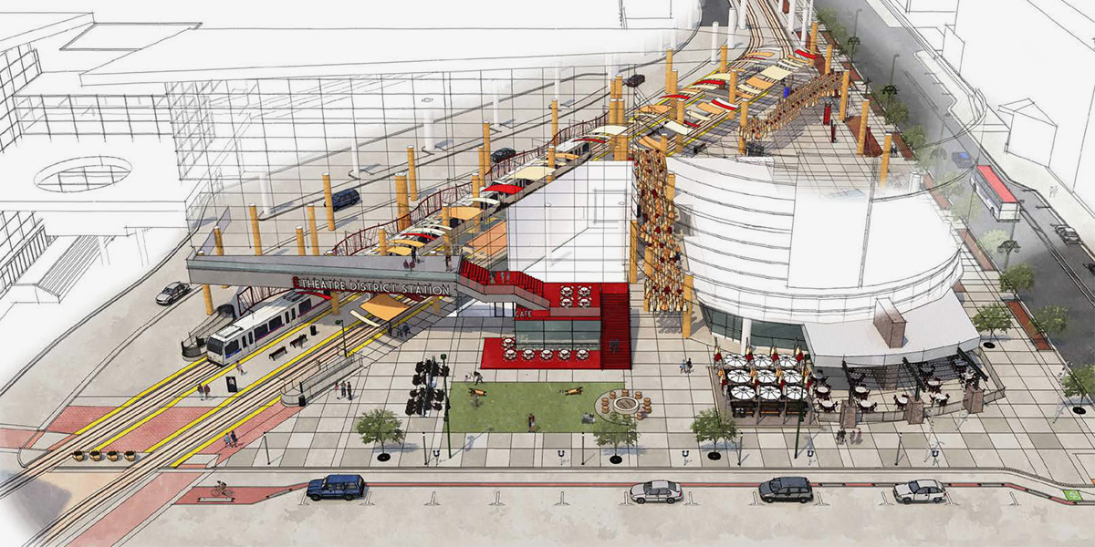
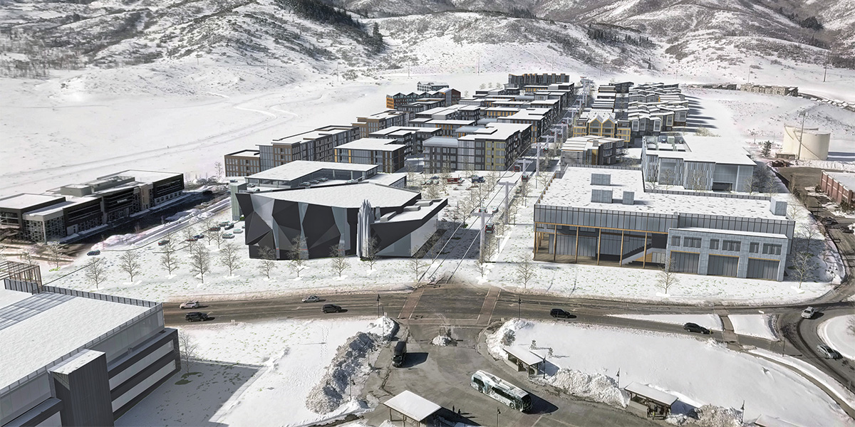
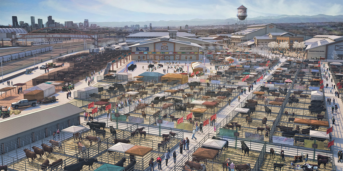
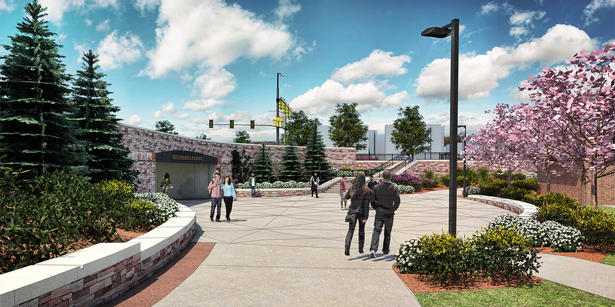
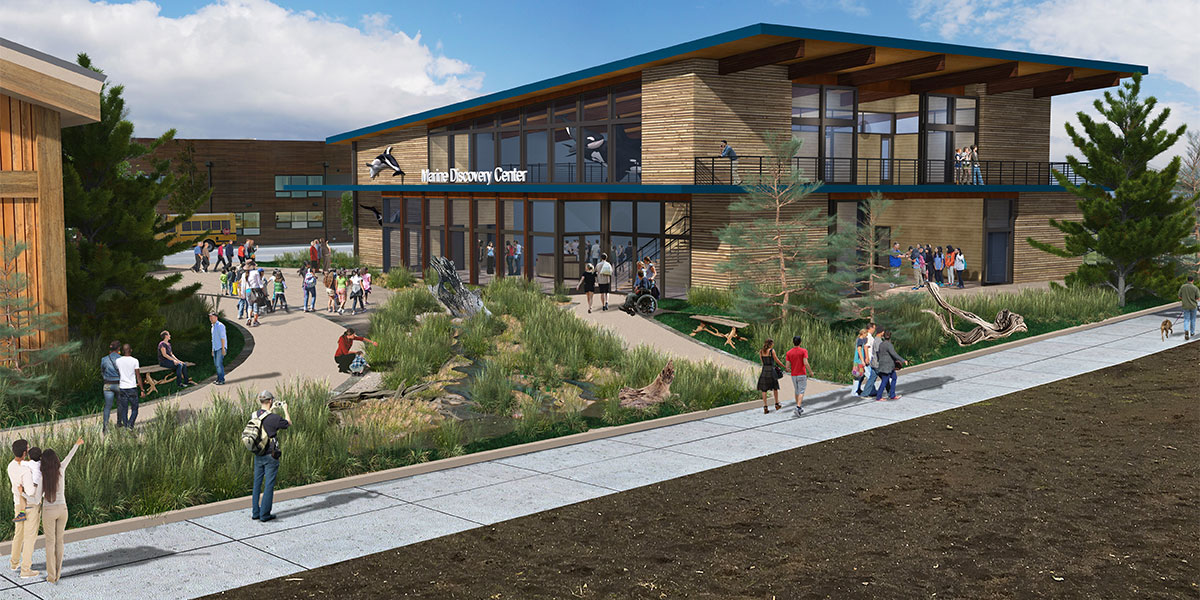
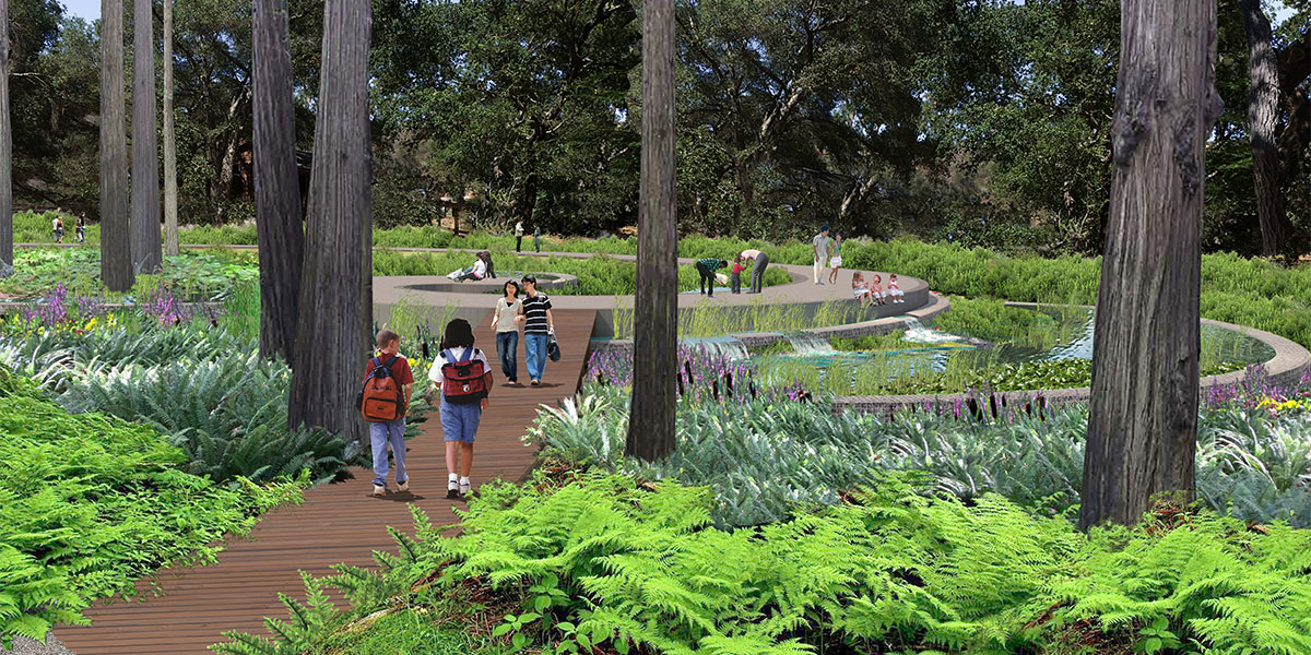
Historically, we have used illustrations and hand sketches, infographics, illustrative plan-view site plans, as well as 3D modeling and photo simulations of aerial views and ground level vignettes for planning and design projects. They’re terrific and invaluable. But they are static.
With today’s computer capabilities, we can expand the planning and design toolbox. We can meld elements together to create those “worlds of wonder” where people walk around, change things, see different scenarios and “feel” what it’s like to live in that reimagined community. Those software advances also mean the costs for producing these experiences have come down—so don’t rule them out because you think your project can’t afford it.
Just three visualization methods, for example:
- Drone photography, both still and video, which is great for seeing hard-to-get-to or dangerous areas.
- Motion graphics, in which multimedia moving or animated graphic design brings 2D elements to life through movement and sometimes sound. The world appears in 3D, although it remains on a screen you look at.
- Augmented reality is an interactive experience of a real-world environment where real-world objects are enhanced by computer-generated perceptual information that can include visuals, sounds, touch and even smell. A computer uses sensors and algorithms to determine the position and orientation of a camera (in a phone, pad or laptop). The computer then renders the 3D graphics as they would appear from the viewpoint of the camera, superimposing the computer-generated images (e.g., buildings, landscaping, cars, people) on top of a user’s view of the real world through the screen.
Generally, the goal in planning projects is to allow users to virtually explore different 3D models of potential change, and to comment on them. You can design an experience to help community members:
- Explore a new environment. Users navigate around the virtual environment and can toggle between existing conditions and various alternatives or phases in the different 3D models to see what a planned project could look like before it’s built.
- Learn about planning. Just as flight simulators help budding pilots virtually operate airplanes, the experience can help users learn more about specific skills or topics. Imagine community members using a 3D street section tool to redesign streets in their community. Or imagine a growth game that allows users to explore different levels of density and height, and make trade-offs between growth pressure and community character.
- Experience a richer story. Parks, exhibits and museums can offer audio and video narration as a part of an experience, helping explore the history of a place and help a user relate to an area’s heritage and culture—and why that’s relevant in current decision-making. (Stay tuned for an article coming right here next week about new technology in parks!)
Are visualization tools right for your project? Think about: What is the story you are trying to tell and who needs to experience that story? What are the design challenges, the elements you want feedback on? And what is the experience you want to present to your stakeholders and the community? How can visualization make the planning and design process more effective and efficient?
For example, if you’re planning a new street or river corridor and would like public feedback, the experience should have both day and night modes (including street lighting), seasonal weather conditions (snow, rain, sun, glare, etc.) and show pedestrians, bike and scooter riders, and cars and trucks, etc., all moving at various speeds so they reflect real traffic conditions.
Community members now expect that the tools you use to communicate your planning will be as innovative as your planning. A good consultant can walk you through all the options, help you decide what will work best for your community, and then implement your project’s customized experience.
Mark De La Torre is a “30-something-year-old” design professional, a Texas native now living in Colorado. Drawing from a wide range of academic and professional experience in architecture, landscape architecture, design-build and real estate development practices, Mark leads multi-disciplinary teams in the graphic representation of the design process, from concept to synthesis and through execution. He has a wide array of planning and design experience in corridors, downtowns, districts and parks, as well as streetscape, transportation and campus design. He derives design solutions from tangible sources of inspiration that focus on and develop out of the unique, contextual needs of each place. His work engages communities in preserving, enhancing, and creating lasting environments that foster a sense of pride and ownership. When not working, you might find him exploring the Front Range trail system on his soon-to-break-down 80’s road bike, volunteering at community cultural- and development-focused nonprofits, or playing his bodhrán (traditional Irish frame drum) at the local pub.