Geographic Information Systems (GIS)
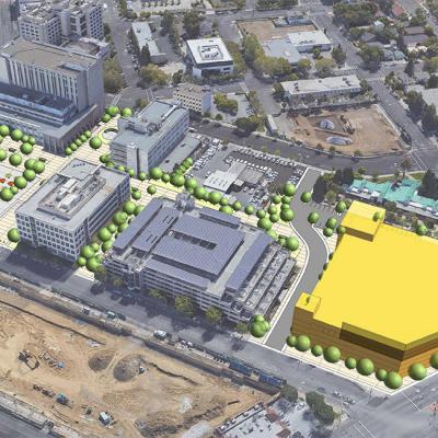
We bring the power of GIS to your projects, allowing you and the community to easily use maps and complex data analysis to make more informed decisions. Our GIS analysts are also biologists, land use planners and environmental impact analysts who bring their expertise to data display and analysis. Our services include demographic, network and spatial data analysis; land use modeling and build-out analysis; database design and development; natural resource and conservation mapping; and web mapping and map-based questionnaires. The world, distilled.


